
Topography Engineering
Survey
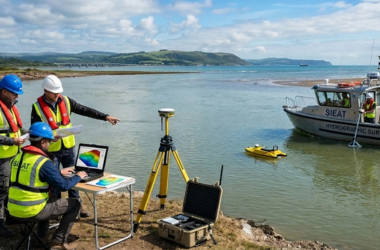
Hydrographic Bathymetry
Survey
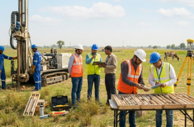
Geotechnical Investigation
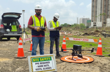
LiDAR-Drone UAV Survey
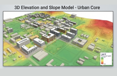
GIS Survey
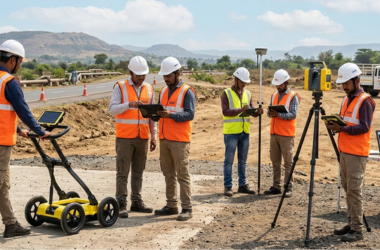
GPR Survey













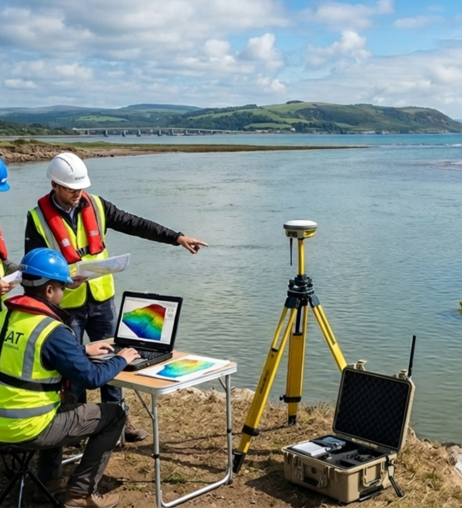
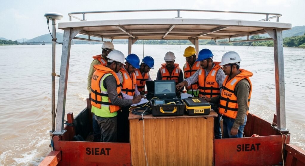
SIEAT provide professional hydrographic, bathymetric and geographical survey services that cover a broad range of hydrographic disciplines. Our Engineers or surveyors have access to a range of hydrographic survey sensors, platforms, state-of-the-art technology and software, enabling us to deliver a unique, tailored data solution to your specific needs.
Survey systems are selected based on the scope of work, water depth, operating frequency, range from shore, accuracy requirements, seabed conditions, and size of vessel or boat. Our hydrographic surveyors are all well qualified and experience, making your complete solution for all of your Survey related Work, Survey planning, data acquisition, processing and reporting needs. SIEAT are early adopted of the latest, proven technology, meaning we’ve tried and tested work flows, allowing our surveyors and engineers to work smarter and more efficiently. We’ll advise you on what the best approaches, so we can meet your project’s quality, accuracy, time and cost goals.
We offer comprehensive Services of detailed Engineering/Land and Hydrographical Surveying Services.