

Topography Engineering
Survey
Hydrographic Bathymetry
Survey

Geotechnical Investigation

LiDAR-Drone UAV Survey
GIS Survey

GPR Survey















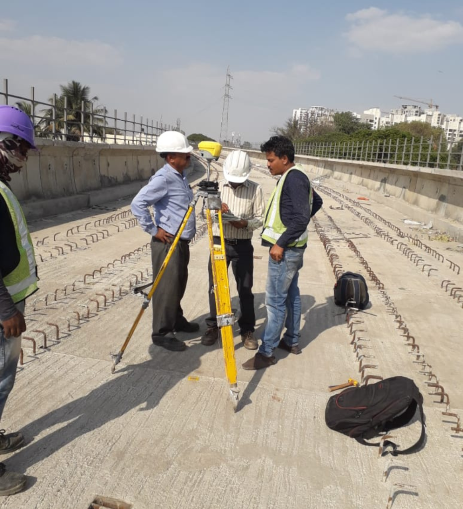
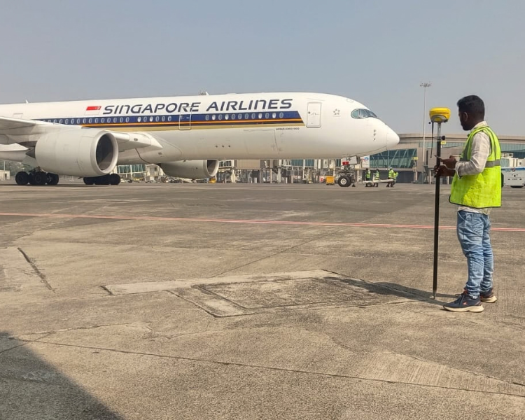
SIEAT provide professional DGPS survey services that cover a broad range of DGPS disciplines. Global Positioning System (GPS) surveys are undertaken when survey data is required to be related to the National Grid. DGPS enables us to carry out large scale site surveys in a quick and effective manner, saving valuable time and cost. Sieat has highly experience and well qualified employee can collect large volumes of data from the proposed development area with great efficiency, to produce DGPS Land Surveys that are highly accurate; our DGPS surveying equipment can achieve most accurate to. Since a line of sight is not necessary between two points when using DGPS, a surveyor can cover a larger area where sight lines are not possible because of distance or obstructions between points. Scale factor is also incorporated, if required as opposed to a flat grid.
“The most effective way to achieve a dynamic and universally consistent reference system is through the technology of the Differential Global Positioning System (DGPS).” Topographical surveys, building surveys & setting out can all be tied into national grid co-ordinates using DGPS, working hand in hand with OS data position and scale factor.
We offer comprehensive Services of detailed Engineering/Land and Hydrographical Surveying Services.