
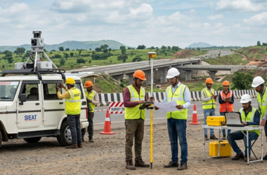
Topography Engineering
Survey
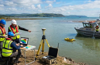
Hydrographic Bathymetry
Survey
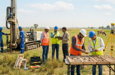
Geotechnical Investigation
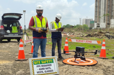
LiDAR-Drone UAV Survey
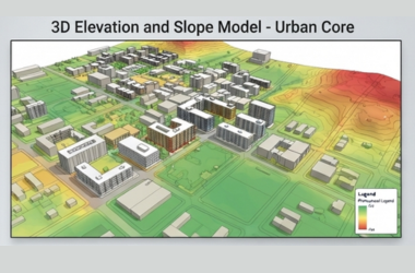
GIS Survey
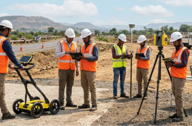
GPR Survey














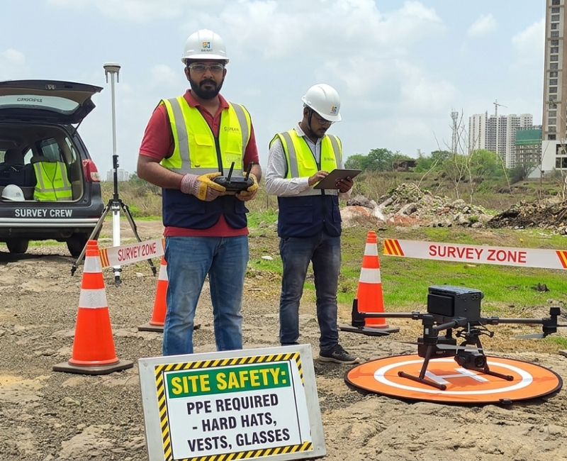
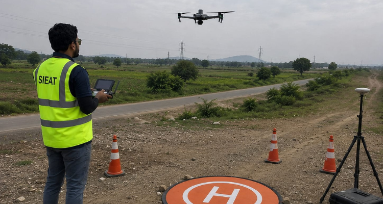
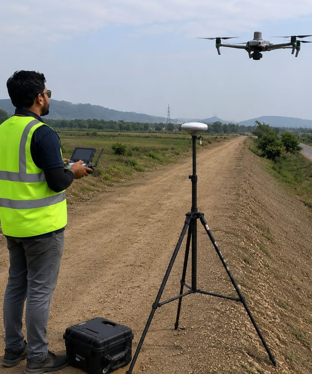
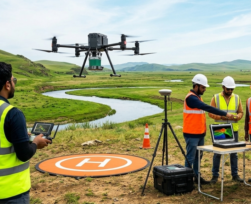
UAV Based 3D Survey is a professional tool that allows surveyors to collect unlimited aerial data and precise measurements, while saving time and manpower. The drone is automatically deployed and landed, and the system analyses the aerial data, creating highly accurate, best-in-class orthophotos and digital elevation models to assist in surveying reports. Generally, drones were built around professional photographers and hobbyists, the Drone with RTK was designed for industrial users for high-precision mapping and other data acquisition missions. It also adds an RTK/PPK positioning module, a new Time Sync system, a purpose-built mapping app and more. UAV given centimetre-accurate data while requiring Ground Control Points establish by using DGPS.
Photogrammetry post processing software shall be used for geo-referencing the images, validate with ground control point, generates ortho-mosaic image and point Cloud Data. After Image Post Processing, CAD Drawings shall be prepared based on OrthomosaicImage. Point Cloud Data shall be classified for Ground Points. Ground Surface, DEM, DSM, 3D Models are generated classified point clouds. Once the drawings are ready, we print and check the data in field and update the drawing without any omission. Finally, Auto CAD/GIS Compatible Drawings will be delivered.
Sieat offer the service to deliver Orthophoto and LAS files. This Service not included any drafting work. We process images and combine the given GCPs shall be incorporated and Delivered as Orthomosaic image and las files (Point Cloud). After receive Accurate Raw Images of from Drone along with Ground Control Points. We shall process it and deliver the Orthorectified Image and Point Cloud with final output in Auto Cad/GIS.
We offer comprehensive Services of detailed Engineering/Land and Hydrographical Surveying Services.