
Topography Engineering
Survey
Hydrographic Bathymetry
Survey
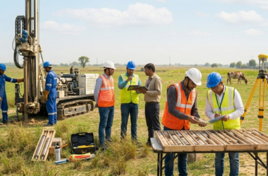
Geotechnical Investigation
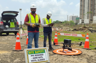
LiDAR-Drone UAV Survey
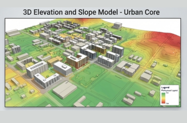
GIS Survey
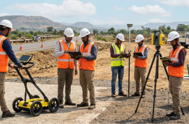
GPR Survey














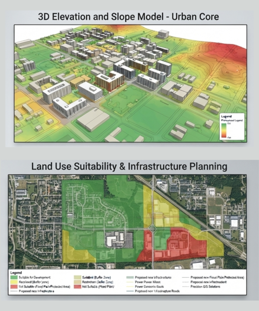
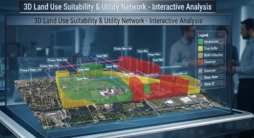
SIEAT provide adroit professionals, we are engaged in providing Geographic Information System and Mapping Services. Sieat data capturing from aerial platforms can be integrated to improve detail and accuracy of site, local Government authority or assets. Land Surveys has experienced surveyors located nationally, who can be rapidly engaged to help capture, convert or improve your existing GIS database. Engineers, planners and architects are demanding fully immersive, correlated and up-to-date 3D spatial data environments for design, visualisation and communication.
Other Details: Generating contour Maps and cross-sections, along with L-sections, to capture features as per the client’s requirement like Road network, Building, Railway, Water bodies, Reserved area and other amenities. After digitization edge matched, the completed project area in uniform scale. Responsibilities also include finishing the work at a given target time.
Data Conversion Services Are Offered for Different Types of Maps.
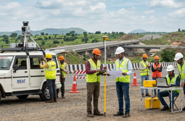
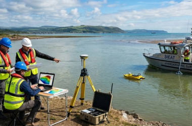
We offer comprehensive Services of detailed Engineering/Land and Hydrographical Surveying Services.