
Topography Engineering
Survey
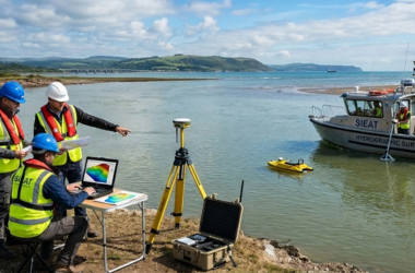
Hydrographic Bathymetry
Survey
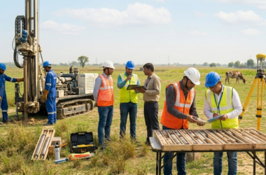
Geotechnical Investigation
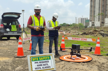
LiDAR-Drone UAV Survey
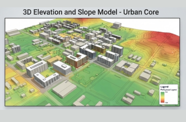
GIS Survey
GPR Survey














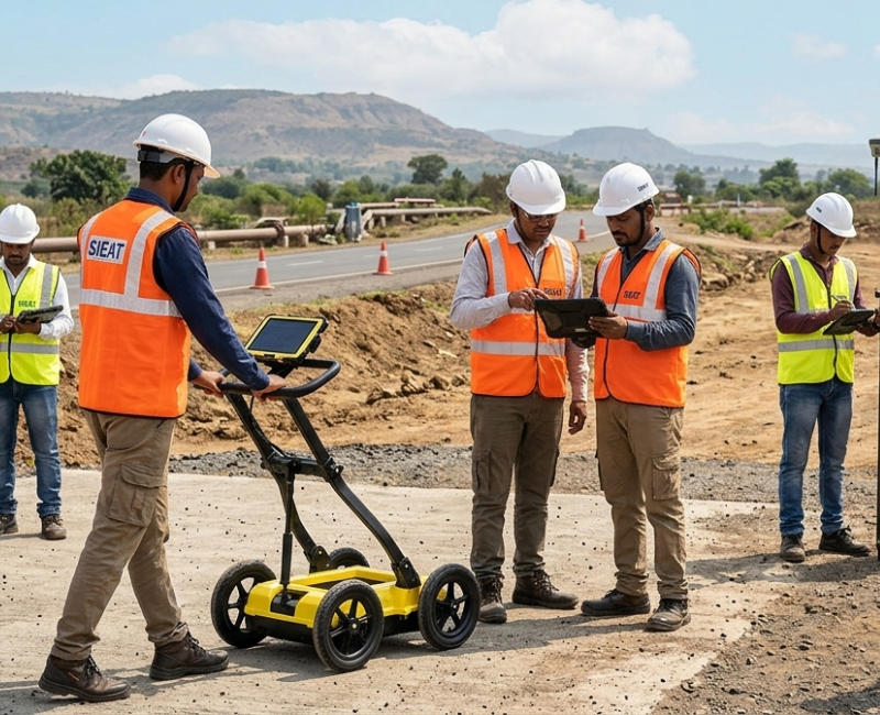
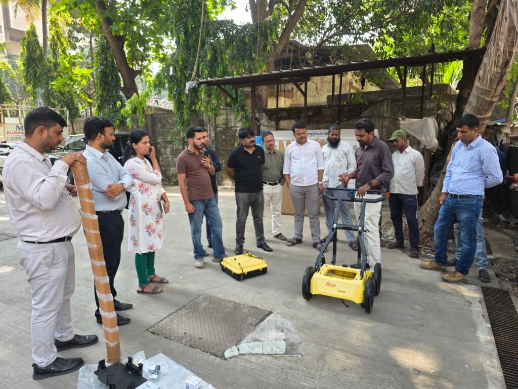
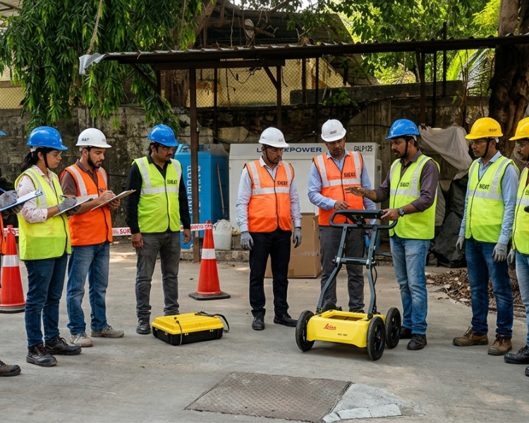
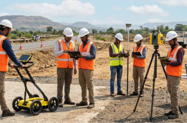
SIEAT Provided with sincerity and hard work of our professionals, we have carved a niche for ourselves in this domain by offering GPR Survey.Geophysical Pipe Reconnaissance System is a totally non-destructive technique to produce a cross section profile of subsurface without any drilling, trenching or ground disturbances. The profiles are used for detecting buried pipes in totally non-destructive manner.
The System operates by transmitting signals into the ground. The transmitted energy is reflected from various buried pipes. The equipment then receives the reflected waves and displays them in real time on screen. Data is also saved in appropriate memory for later processing and interpretation.
The system can investigate depths up to 10 meters in low conductivity materials such as dry sand or granite. Clays, shale and other high conductivity materials may attenuate or absorb the signals, greatly decreasing the depth of penetration.
The depth of penetration is also determined by the system used. Deep pipe detector obtains reflections from deeper depths but have low resolution. These systems are used for investigating the large, deep pipes. Shallow Pipe Detectors obtain reflections from shallow depths (0 to 3 meters) and have a high resolution. These systems are used to locate small buried pipes and rebar in concrete.
We will conduct Ground Penetrating Radar Survey to detect buried sewerage Pipeline, cables etc in the given corridor. The underground utilities detected will be marked on Soft Copy of the Topographic Survey Drawing of the corridor, to be supplied by the Client. Our Report will indicate the locations and depths to the top of various utilities detected. Work will be conducted using 500 MHz and 300 MHz antenna for best possible resolution and penetration.
Validate existing utility locations and data from existing asset owner plans and search for unknown utilities, using a range of geophysical techniques.
We offer comprehensive Services of detailed Engineering/Land and Hydrographical Surveying Services.